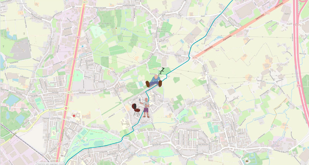
The management of smart cities, utilities and public transport, among others, often revolves around merging many different data sources and being able to act on them quickly, for example in emergency situations. Hexagon’s M.App Enterprise is an excellent tool that we often use to bring together large amounts of data and organize it into clear visualizations.
Code-free
Big advantage: Through M.App Enterprise’s interface, you can quickly and easily – without coding – design maps and dashboards that update automatically when you add data to the dataset, for example, or when you select data through one of the many filter options.

In addition to browser and desktop applications, you can configure mobile apps that make it possible, for example, to use a smartphone to measure points, take pictures, … which can then be accessed in real time by administrators and decision makers. All of this is done without writing even a line of computer code, but if desired, that option is there so you can add additional features and you can set everything up completely to your liking.
3D visualizations in a 3D world
In addition to traditional 2D data, Hexagon is also strongly committed to supporting and integrating three-dimensional data. For example, you can load point clouds or 3D meshes that you can not only visualize afterwards, but also a cross section or measurements are perfectly possible.
Thus, we are gradually moving toward a 5D digital reality: a visualization so lifelike that you can instinctively and instantaneously take the right actions.
Your turn
Wondering what M.App Enterprise or another solution can do for your business? Do not hesitate to contact us.


