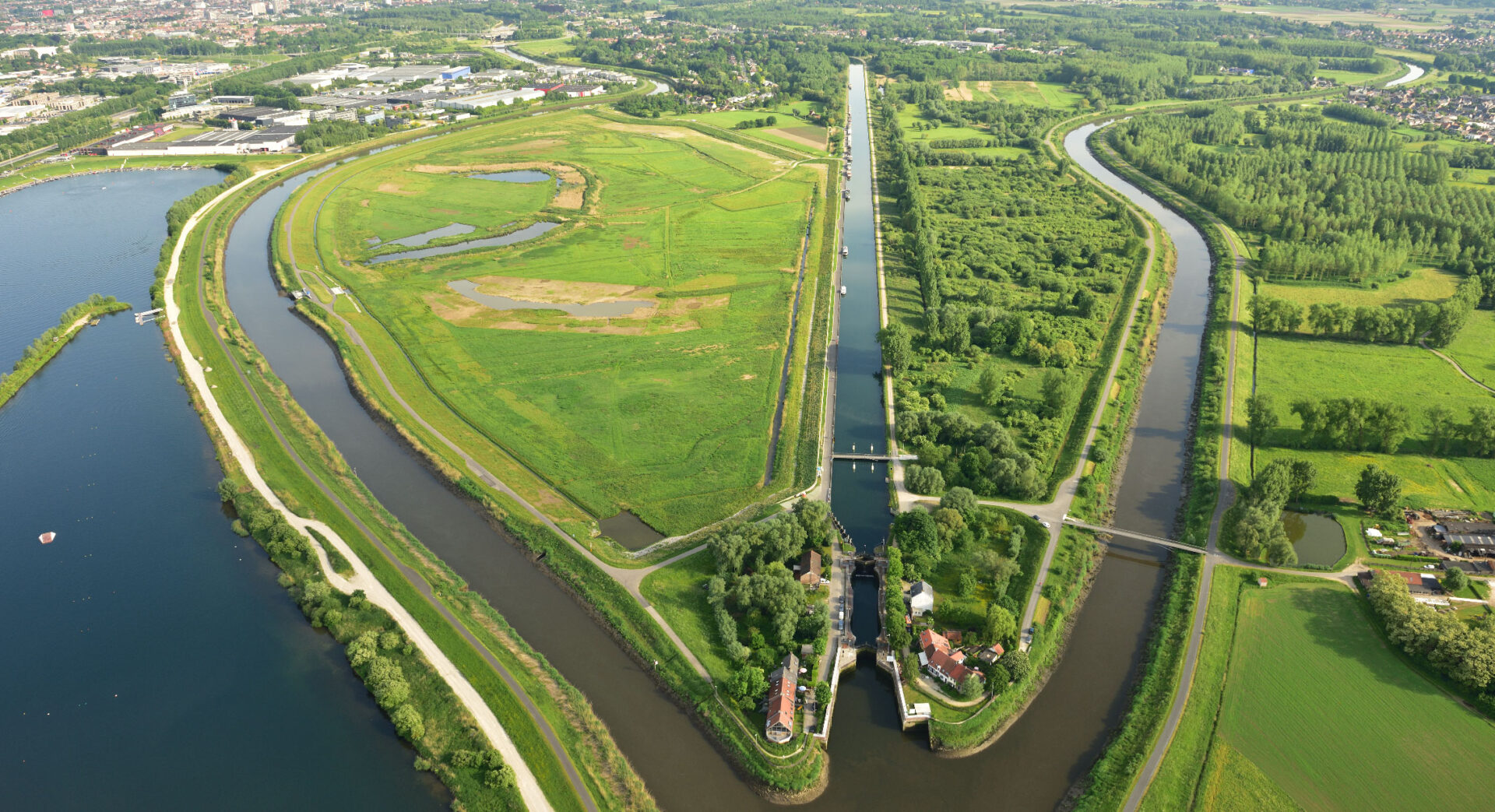
Sustainability in your city or town is very important. Thanks to a remote sensing tool, Geo Solutions can offer decision makers visual insight about the green index and green evolution in your Smart City. Better understanding gives better green policies.
The desire
Sustainability or durability is one of the keywords for our Smart Cities. Nature and green spaces act as green lungs for municipalities or cities. In a changing world, the presence of vegetation has an impact on wind chill and indirectly on the health of their inhabitants.
Consequently, municipalities are making great efforts to provide more green space to mitigate the negative effects of climate change and optimize the experience in their cities.
It makes sense that every municipality would want to monitor its green evolution with a tool. With statistical data, you can identify potential at-risk neighborhoods and ensure more targeted and efficient green policies. Here, then, it is important to be able to track the evolution and make a comparison with other municipalities.
Geo Solutions in action
Remote sensing data + Google Earth Engine
Geo Solutions developed the Geo Green Index tool that uses remote sensing data combined with the latest technologies from Google Earth Engine. Using satellite data, we calculated the green index based on the NDVI (measure of vegetation) at high spatial resolution over large time scales. With Google Earth Engine, this can be calculated smoothly and visualized correctly. In the Earth Engine app, for example, you can use sliders to switch between different maps and charts. Pop-ups of data points provide an insightful picture of the situation in the municipality.

Geo Green Index tool
With Google Earth Engine and the Geo Green Index, the complex satellite data can be efficiently processed and visualized. In addition, the data always remain up-to-date and the latest available images are analyzed thanks to Google Earth Engine’s catalog.

The value
Geo Solutions developed a remote sensing tool for decision makers to monitor the amount of green space in their own communities to ensure a more targeted approach and more efficient use of budget.
Using one of the many useful features in Google Earth Engine, one can track the evolution of the amount of green space for each municipality and each statistical sector over several years.
We are happy to help create a more sustainable world. Remote sensing for better green policies for your Smart City.


