As a global player, the Port of Antwerp is always looking for innovation and renewal, and this is no different for the use of GIS.
The desire
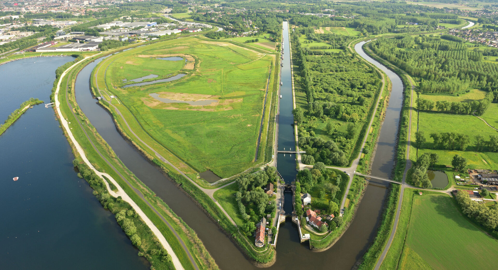
The services provided by the Port of Antwerp are many and varied. Whether managing concessions, maintaining quay walls or towing cargo ships, in each case, geographic information systems (GIS) play the leading role as a visual anchor. As a global player, the Port of Antwerp is always looking for innovation and renewal, and this is no different for the use of GIS. “Future-proofing the GIS applications” is the challenge we took up with them.

Geo Solutions in action
Initially, we created a comprehensive picture of what GIS within the Port of Antwerp means in concrete terms, and we did this by mapping the entire GIS landscape, modeling associated business processes and speaking with data providers and end users. Further discussions with stakeholders then set goals; the GIS of the future took shape. Part of this is a commitment to self-reliance: users must not only be able to access their data, but also to manage it themselves.
Given the role of GIS within the port, flawless information exchange with asset management systems or reporting applications is a must. As a team, the GIS department must focus not on the data but on its users. That’s where we want to go.

The value
The assignment already resulted in a number of new GIS applications. For example, several departments are now able to manage their own spatial data. Integrations with asset management systems and Power BI are no longer futuristic, but are part of the norm. The GIS help desk backlog is at its lowest. The GIS Department of the Port of Antwerp is well prepared for the challenges of the future.