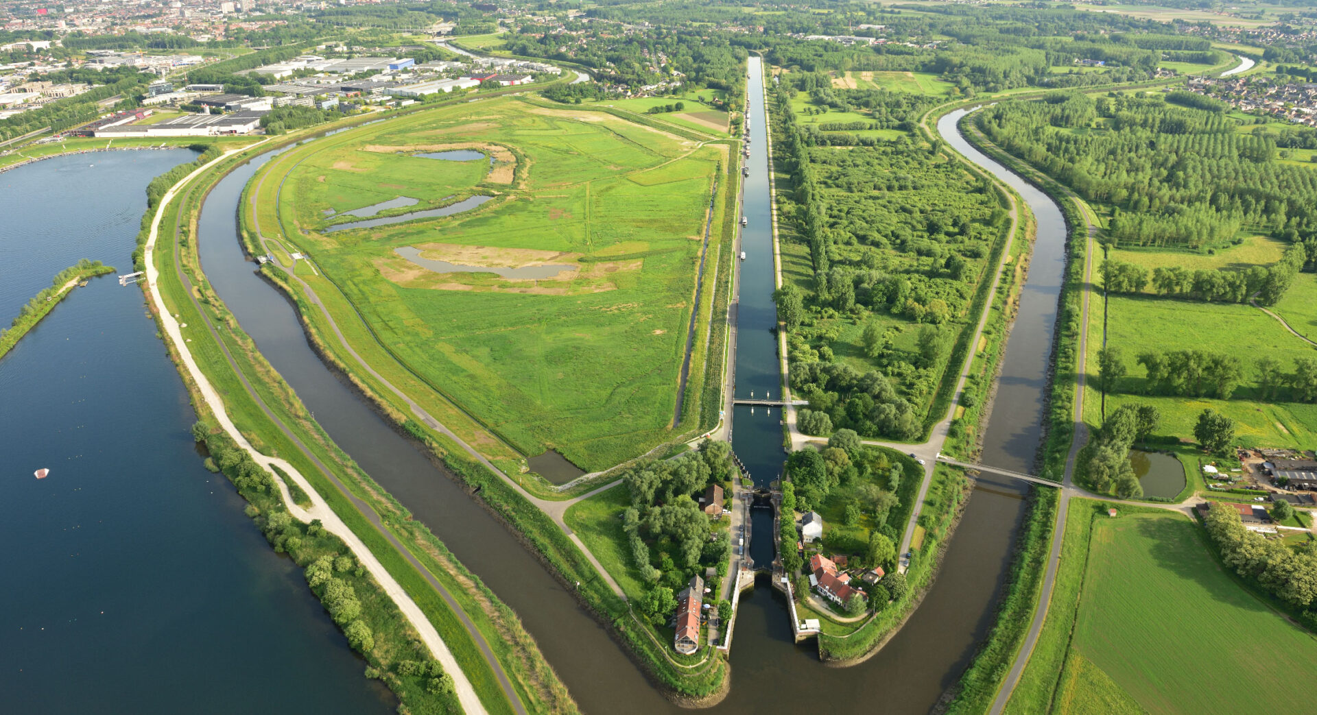
Belgian Aquafin NV is responsible for the pre-financing, expansion and management of water treatment infrastructure in the Flemish region. This water treatment infrastructure includes sewage treatment plants, pumping stations, collectors and sewers. Aquafin wishes to manage all these assets digitally and better.
The desire
It is crucial to make all parts of the manage water treatment infrastructure properly and safely. This infrastructure includes assets belonging to sewage treatment plants, pumping stations, collectors and sewers….
Both the virtual management of these assets and their management in the real world are necessary for Aquafin.
Geo Solutions in action
Geoportal
Geoportal is the successor to the Geopunt application, where Aquafin employees can manage assets. In addition to a much-needed technical update, a solid foundation was laid for a true portal that can connect location and all kinds of information sources:
An upgrade
- Geoportal is a lot more intuitive and user-friendly (inspired by modern web portals like Google Maps) and is fully ready for mobile use. For example, you can use your location data to zoom in on your current location and quickly switch between map and information screen. Using the search bar, you can easily look up municipalities, addresses, wells, installations and the like.
- The background maps also received an upgrade, with new layers such as Openstreetmap & Cartoweb (the former staff maps). You can also turn them off completely to get a good overview. The proprietary background layers like team delineations, parcel boundaries of our properties, the AWIS overviews and all kinds of environmental maps are now much more user-friendly. They are displayed on the map with a few clicks and you can request additional information by clicking on the map.
- Faster tracing of the piping system was also provided and you can upload photos more smoothly, which are then linked to the corresponding well.
Inspector
In addition to managing these assets virtually, there is also a need to manage them in the real world. Inspector is an application that allows Aquafin employees to inspect sewer manholes on-site. The application is designed for mobile use, and using GPS and maps, the worker can follow and inspect a composite route. Users can use a form to indicate the status of wells. They can then further substantiate this with photos in the application’s upload area.
The value
Making all assets more graphically visible allows Aquafin to better analyze its data. This gives them better insights to optimize the management of all their geodata. In this way, Aquafin can formulate targeted and well-founded actions for the policy level. It also allows the various stakeholders to work together more efficiently.