The desire
By law and by internal Air Liquide rules, for safety reasons, trees or other structures are prohibited in the area around a pipeline. So it is important to map the area around Air Liquide’s pipelines.
Geo solutions in action
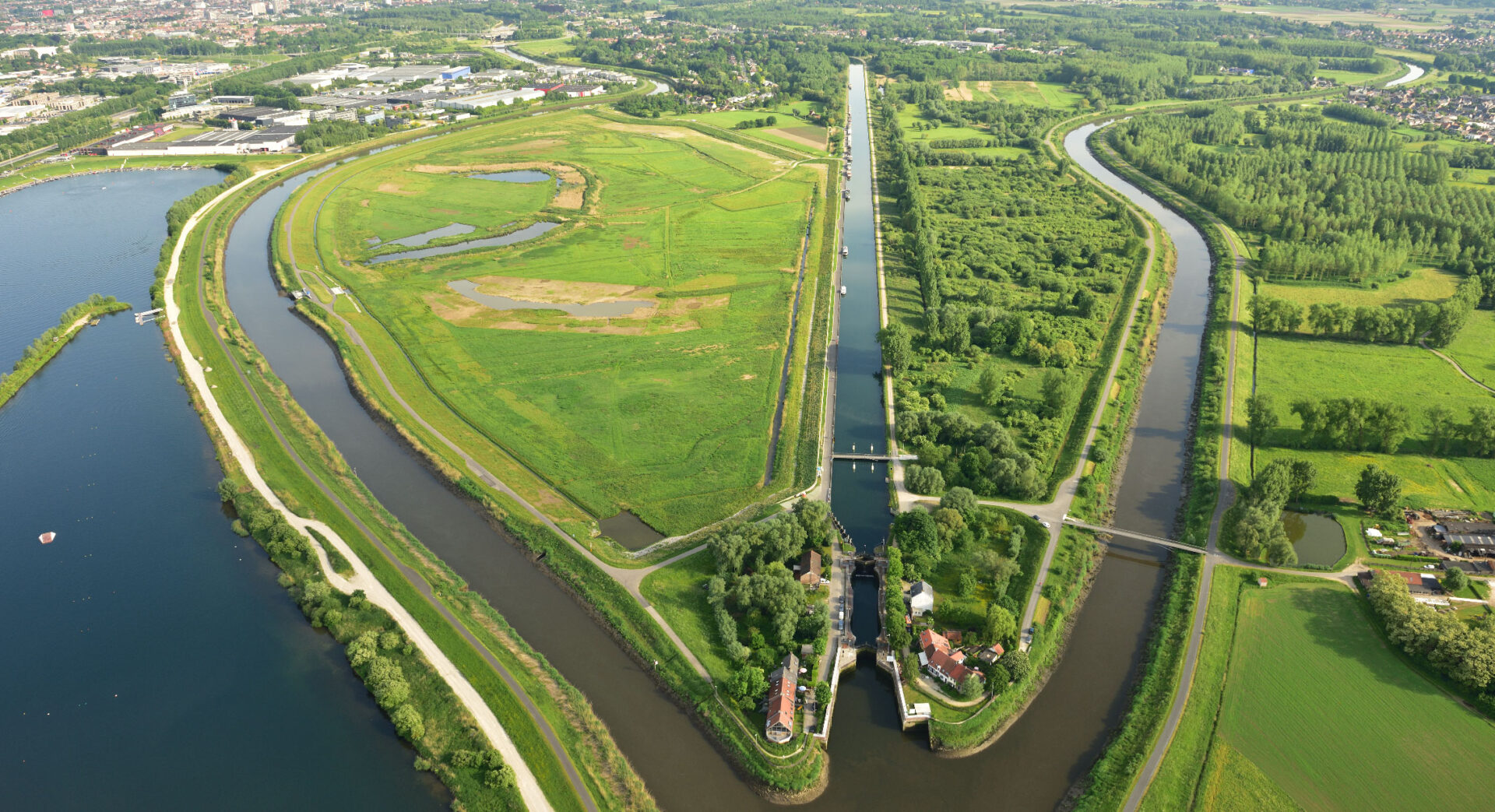
Geo Solutions devised a solution for surveying pipeline environments. The object-based land cover classification uses recent aerial photographs, elevation data and existing topographic datasets. Classification consists of several steps, which translates into a customized classification tree. The classification is primarily based on infrared aerial photographs combined with elevation information (derived from LiDAR data) to separate tall from low vegetation.
The value
Structures and vegetation near the pipeline are classified. Additional GIS analysis includes mapping the accessibility of the trees to be cut down. Other potential impacts on the pipeline are also identified, such as waterways, roads and railroads.
An overview of all trees and structures in a perimeter around Air Liquide’s pipelines allow for immediate intervention where needed.