Technologie helpt ons locatie tot leven te brengen bij onze klanten. Door locatie te integreren in de technologie van onze klanten zorgen we ervoor dat ze:
informatie kunnen delen over een locatie
kunnen samenwerken rond een locatie
beslissingen nemen over een locatie
De kracht van ons bedrijf
We hebben over de jaren heen ruime ervaring opgebouwd rond GIS technologie en IT. Onder impuls van de groeiende interesse in Digital Twins hebben we daar ook BIM en IoT kennis aan toegevoegd.
We zorgen dus niet alleen voor je GIS technologie maar integreren ook locatie data in een breed scala van oplossingen.
Open Source GIS
Open source GIS technologie heeft over de jaren heen maturiteit gewonnen. Het is veel meer dan een alternatief voor COTS en een set technologie die al lang zijn plek in het IT landschap heeft ingenomen.
We helpen onze klanten bij de opzet en inrichting van hun open source GIS zodat ze het kunnen gebruiken voor de ondersteuning van hun dagelijkse werking.
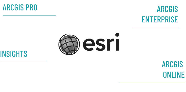
Als officiële partner van ESRI – de wereldwijde marktleider in GIS – zijn we volledig up-to-date en maken we volop gebruik van deze Enterprise software. De ESRI product familie biedt een ruime waaier van mogelijkheden. Van ArcGIS Pro op de desktop tot ArcGIS online in the cloud.
We bieden full cycle ondersteuning bij de uitrol in uw organisatie. We combineren graag de sterke punten van ESRI en zetten de juiste onderdelen in op maat van jouw project.
Hexagon
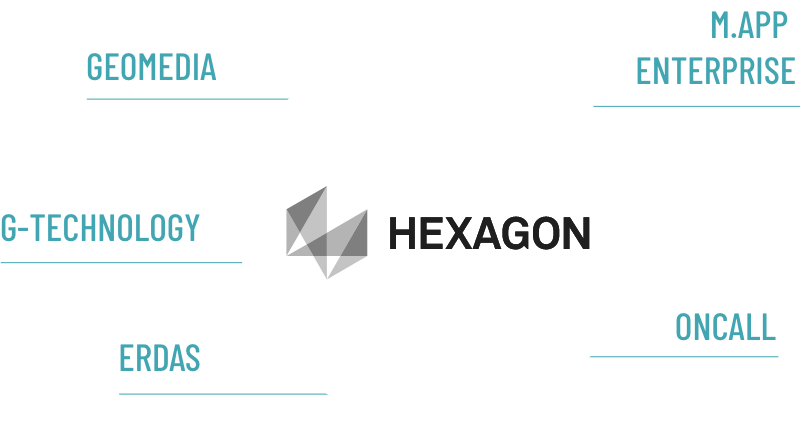
De Zweedse firma Hexagon heeft over de jaren heen een mooi portfolio van GIS technologie bij elkaar gebracht.
Dat levert technisch heel wat nieuwe mogelijkheden. Van remote sensing tools, over asset beheer, cartografie en specifieke business tools biedt Hexagon in de breedte een unieke combinatie van mogelijkheden.
Eigen technologie
Geo Solutions beschikt ook over eigen kant en klare oplossingen. Deze oplossingen zijn gegroeid uit onze brede ervaring en worden voortdurend gebruikt binnen onze opdrachten. Ze vormen dus echt een meerwaarde voor heel wat klanten. Binnen de set oplossingen kan je concrete services vinden, maar ook bouwstenen om je eigen toepassingen sneller vorm te geven.
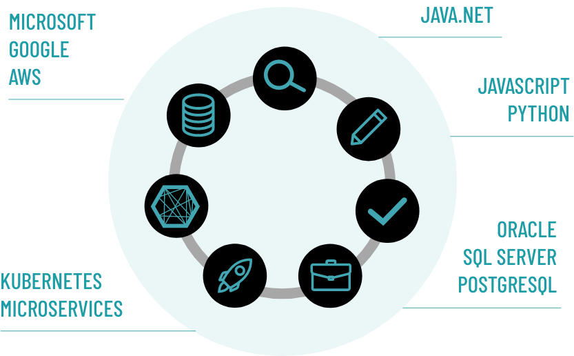
GIS technologie staat niet meer alleen. Wij verbinden het bestaande IT landschap van onze klanten met hun GIS. We zetten waar mogelijk ook traditionele IT componenten in bij de realisatie van onze oplossingen.
Bij GEO Solutions kan u terecht voor begeleiding doorheen de hele ontwikkelingscyclus. Wenst u een deel van de cyclus, of het geheel? Alles is mogelijk.
Partners
Geo Solutions werkt samen met
Silver Partnership met ESRI
Partnership met GeoSolutions Group
Partnership met DatuMate
Samen jouw project bespreken?
Benieuwd wat de kracht van locatiedata voor jouw bedrijf kan betekenen? Plan gerust een vrijblijvend gesprek in, wij helpen je graag verder.